Introduction:
Kallang/Whampoa is a residential, industrial and commercial area located in the central-eastern region of Singapore, spanning from Balestier Road to Sims Way. It has been served by numerous trunk services along Balestier Road, Serangoon Road/Bendemeer Road, Geylang Road/Sims Avenue and Boon Keng Road since its development, which continue to cater to several residential neighbourhoods located sparsely across the area today.
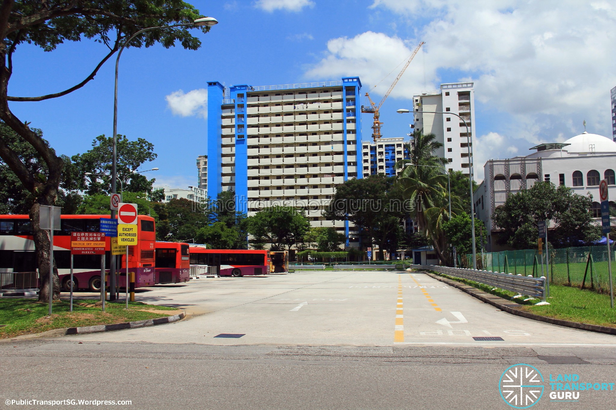
While there is no specific town centre in Geylang due to its vast boundary, Lorong 1 Geylang Bus Terminal and Saint Michael’s Bus Terminal serve as the regional transport hubs for bus services in the housing estate since 1975.
| Town Name | Kallang-Whampoa | 加冷-黄埔 |
| Bus Interchange / Terminals |
|
| BCM Route Packages |
|
| Operators |
|
| Originating Bus Services | 11, 21, 124, 125, 129, 131, 140, 141, 175, 186, 456, 853, 961/961M, 980, 985 |
| Passing-Through Bus Services | 2, 5, 7, 8, 12, 13, 23, 26, 31, 32, 33, 51, 54, 56, 57, 61, 62, 63, 64, 65, 67, 80, 90, 100, 107/107M, 130, 133, 139, 142, 143, 145, 147, 151, 153, 154, 166, 167, 197, 506, 851, 853M, 857, 966 |
Bus Services in Kallang (since 1971):
Since the development of public housing blocks in Kallang, they were mainly served by long distance trunk services along Sims Avenue/Geylang Road, Serangoon Road/Bendemeer Road and Boon Keng Road. Due to the distinctly separate locations of these small housing estates, these major roads continue to serve as the main links to the various neighbourhoods today, along with other roads that were later built, such as Upper Boon Keng Road, Kallang Bahru and Geylang Bahru, as well as the Pan-Island Expressway (PIE) and Kallang-Paya Lebar Expressway (KPE).
Unlike other housing estates, no bus interchange has been formally planned to serve the sparsely located neighbourhoods in Kallang by the Singapore Bus Service (SBS), likely owing to its close proximity to the Central Business District (CBD). Instead, roadside terminals, such as those located along Jalan Kolam Ayer and Lim Ah Woo Road, had catered to the residents of Kallang in the early 1970s.
In conjunction with the implementation of the Park & Ride scheme on 16th May 1975, a fringe car park was built on a vacant plot of land between Sims Avenue and Geylang Road for the new City Shuttle Services (CSS). Besides serving as a terminating point for the CSS, Geylang Fringe Car Park also served as a depot for the maintenance and overnight parking of buses under Singapore Shuttle Bus (SSB), a major operator of the CSS.
Subequently, the fringe car park would later be merged with the roadside terminus along Lim Ah Woo Road in 1977, absorbing several SBS bus services from the defunct terminus. Trans-Island Bus Services (TIBS) would later acquire SSB as its subsidiary, which subsequently led to the renaming of the fringe car park as Lorong 1 Geylang Bus Terminal in 1987. After SSB fully ceased operations in 2007, its defunct depot was acquired by SMRT Buses for overnight parking of buses, before being fully demolished in 2021.
Under the Bus Contracting Model (BCM), the management of Lorong 1 Geylang Bus Terminal remains partially split between SBS Transit and SMRT Buses – a pre-existing arrangement with their respective timekeeper offices located within the terminus since 1977. The timekeeper office for SMRT Buses would be transferred to Tower Transit Singapore in 2021, after the operator clinched the contract for the Sembawang-Yishun Bus Package a year prior.
Bus Services in Whampoa (since 1971):
After the major bus reorganisation exercise in 1971, a roadside terminus along Jalan Aman continued to cater to several long distance trunk services serving the flats located in the housing estate of Whampoa. In 1975, the new Whampoa Road Bus Terminal was built to serve as a new terminating point for the extended routes of CSS Bus Services 3 & 7.
Both roadside termini would subsequently be relocated to the new St. Michael’s Bus Terminal along Whampoa Road on 2nd January 1983, consisting of a passenger concourse with end-on boarding berths and offering a pleasant environment for bus passengers to transfer and wait for their buses.
Despite the opening of new MRT stations near Whampoa, St. Michael’s Bus Terminal continues to be in operation along Whampoa Road, providing bus links to the nearest MRT stations to the housing estate such as Novena, Farrer Park and Boon Keng.
Summary of Post-Amendment Bus Routes in Kallang (as of 17 Oct 1977):
- 2: Changi Point – Bedok – Geylang – Kallang – Bugis/Chinatown – Commonwealth Avenue
- 3: Bedok South Road – Geylang – Kallang – New Bridge Road (Loop)
- 5: Geylang – North Bridge Road – Havelock Road – Sixth Avenue – Bukit Timah
- 11: Bedok Road – East Coast Road – Kallang – New Bridge Road
- 12: Bedok Road – East Coast Road – Kallang – River Valley Road – Commonwealth Avenue
- 13: Chai Chee – Geylang – Kallang – Bugis – Orchard Road – Ghim Moh
- 14: Bedok Road – East Coast Road – Kallang – Orchard Road – Mei Chin Road
- 20: Chai Chee – Geylang – Kallang – Shenton Way – World Trade Centre – Ghim Moh
- 21: Chai Chee – East Coast Road – Kallang – Bugis/Chinatown – Commonwealth Avenue
- 22: Chai Chee – Geylang – Kallang – Bugis/Chinatown – Tanjong Berlayer
- 32: Chai Chee – East Coast Road – Kallang – Bugis/Chinatown – Mei Chin Road
- 33: Upper Changi Road (Track 6) – Geylang – Kallang – Bugis/Chinatown – Pasir Panjang Road
- 41: Chai Chee – Marine Parade Road – Kallang – Bugis/Chinatown – Redhill Close
- 44: Chai Chee – Joo Chiat Place – Kallang – Bugis/Chinatown – Redhill Close
- 50: Kaki Bukit – Geylang – Kallang – Shenton Way – Lengkok Bahru
- 51: Jalan Eunos – Geylang – Kallang – Havelock Road – Alexandra Road
- 53: Kaki Bukit – Geylang – Kallang – Chinatown – Alexandra Hospital
- 61: MacPherson – Kallang – Bugis/Chinatown – World Trade Centre – Ulu Pandan Road
- 62: MacPherson – Kallang – Bugis/Chinatown – Jalan Rumah Tinggi
- 63: MacPherson – Kallang – Bugis/Chinatown – Alexandra Road
- 71: Geylang – Paya Lebar Road – Yio Chu Kang Road – Upper Thomson Road
- 84: Upper Serangoon Road – Paya Lebar Road – Kallang – Bugis/Chinatown – Tanjong Pagar Road
- 90: Paya Lebar Airport – Kallang – Bugis/Chinatown – Commonwealth Avenue
- 91: Paya Lebar Airport – Kallang – Beach Road – Prince Edward Road
- 100: Serangoon Gardens – Kallang – Bugis – Prince Edward Road
- 148: Toa Payoh – Kallang – Bugis – River Valley Road – Commonwealth Avenue
- CSS 9: Geylang – North Bridge Road – Shenton Way – Tiong Bahru – Bukit Merah
More detailed information for operational bus services can be found in the Historical Routes of Bus Services article.
Summary of Post-Amendment Bus Routes in Whampoa (as of 2 Jan 1983):
- 120: St. Michael’s – Beach Road (Loop)
- 122: St. Michael’s – Jalan Besar – River Valley Road – Alexandra Road – Buona Vista
- 123: St. Michael’s – Orchard Road – New Bridge Road (Loop)
- 124: St. Michael’s – Orchard Road – Chinatown – Telok Blangah Rise (Loop)
- 125: St. Michael’s – Shenton Way – World Trade Centre – Bukit Merah
- 126: St. Michael’s – Jalan Besar – New Bridge Road (Loop)
- 130: Sin Ming Road – Balestier Road – Bugis – Anson Road
- 131: Anson Road – City Hall – Pek Kio – Balestier Road (Loop)
- 139: Toa Payoh – Balestier Road – Orchard Road – Havelock Road – Bukit Merah
- 141: Toa Payoh – Balestier Road – Pek Kio – Prince Edward Road
- 145: Toa Payoh – Balestier Road – Bugis/Chinatown – World Trade Centre – Kent Ridge
- CSS 3: St. Michael’s – Orchard Road – Upper Cross Street (Loop)
- CSS 7: St. Michael’s – Little India – Shenton Way – New Bridge Road (Loop)